
Get to Know San Miguel de Allende: Geographic Data and Territorial Division
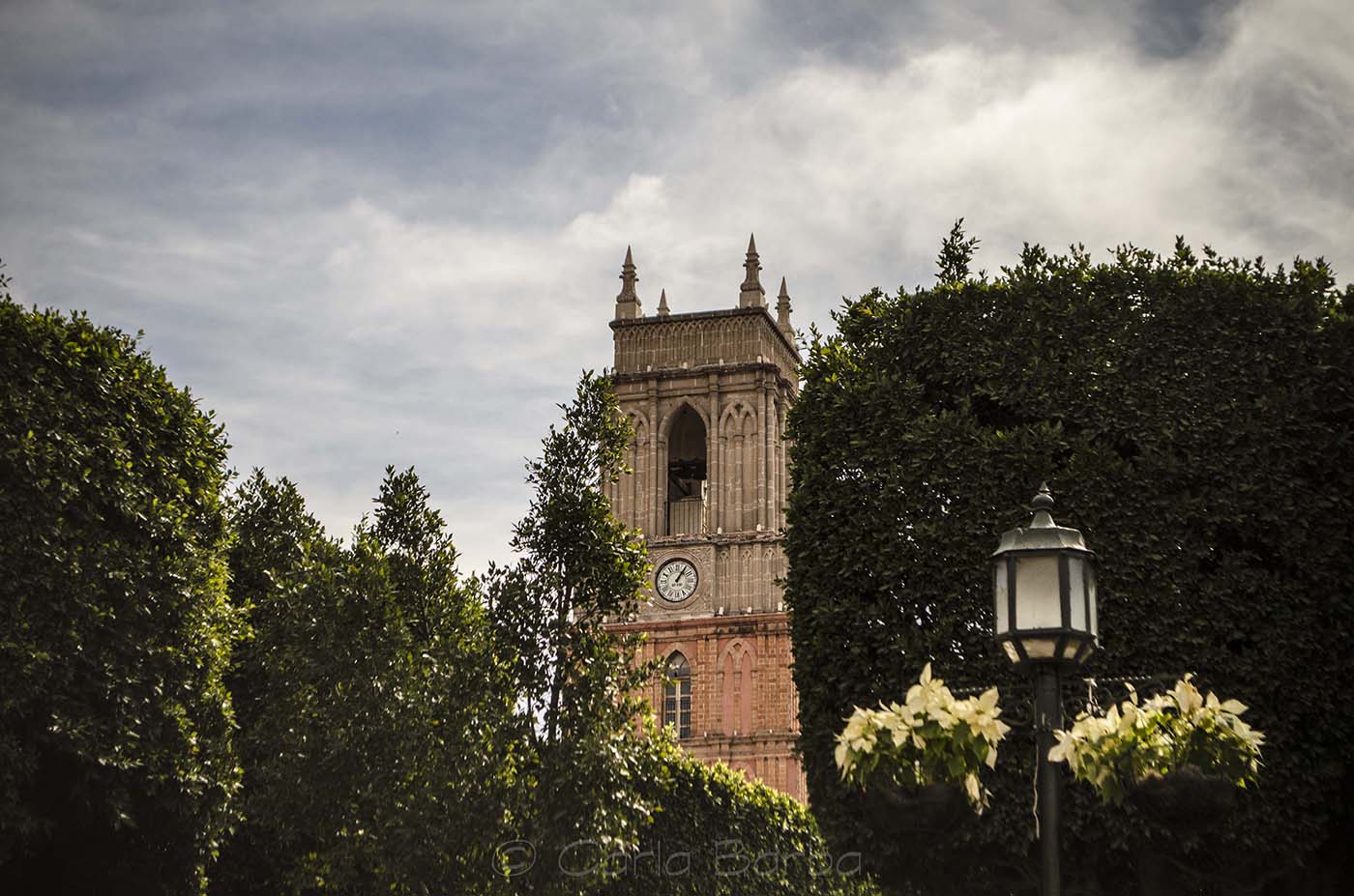
San Miguel de Allende is not only one of the most beautiful cities in the world; it is also a fascinating territory with a rich geography and a vast landscape that perfectly blends vibrant urban life with countryside tranquility.
Whether you live here, are planning to move, or look forward to investing, here are the key facts about how our municipality is shaped.
🗺️ 1. Location and Boundaries
San Miguel de Allende is located in the Bajío region, right in the heart of Mexico, in the northeastern part of the state of Guanajuato. It spans a territorial area of 1,558 square kilometers (approx. 600 sq miles), representing just over 5% of the state’s total territory, making it the 5th largest municipality in Guanajuato. (open map)
The municipality features a strategic location, bordering (ATLAS SMA):
- North: San Luis de la Paz and Dolores Hidalgo.
- South: Comonfort and Celaya.
- East: The state of Querétaro and San José Iturbide.
- West: Dolores Hidalgo and Santa Cruz de Juventino Rosas.
⛰️ 2. Altitude and Climate: The secret behind our great weather!
The municipal seat sits at an altitude of 1,910 meters (6,266 feet) above sea level, though the broader municipal territory ranges from 1,700 up to 2,900 meters at its highest peaks (highland ridges and hills).
Thanks to this elevation and location, we enjoy a semi-arid and temperate climate. The average annual temperature hovers between 16 °C and 18 °C (60 °F – 64 °F). This means sunny days most of the year and crisp, cool nights—absolutely perfect for strolling down our cobblestone streets.
🏢 3. Territorial Division: Beyond the urban area
While thinking of San Miguel usually brings to mind the Parroquia and the historic downtown, the municipality is organized into broader divisions for administrative purposes:
- The Municipal Seat (Cabecera Municipal): The city of San Miguel de Allende itself, where tourism, commerce, and government administration are concentrated.
- Rural Communities: The municipality encompasses over 400 rural communities. Some of the largest and most significant due to their population, history, or trade include Los Rodríguez, Corral de Piedras de Arriba, Atotonilco (famous for its World Heritage Sanctuary and thermal hot springs), La Cieneguita, and Puerto de Nieto.
💧 4. Water and Terrain
Our territory is part of the Laja River basin, which flows through the municipality and fills the Ignacio Allende Dam, the area’s most important body of water. The landscape is a gorgeous mix of the Central Plateau and the Trans-Mexican Volcanic Belt, offering stunning, unique views of rolling hills, plains, and canyons.
Conoce San Miguel de Allende: Datos Geográficos y División Territorial
San Miguel de Allende no es solo una de las ciudades más hermosas del mundo; también es un territorio fascinante con una geografía rica y una gran extensión que combina la vibrante vida urbana con la tranquilidad del campo.
Si vives aquí, estás planeando mudarte o quieres invertir, te compartimos los datos clave sobre cómo está conformado nuestro municipio.
🗺️ 1. Ubicación y Límites Geográficos
San Miguel de Allende se localiza en la región del Bajío, justo en el corazón de México, al noreste del estado de Guanajuato. Tiene una extensión territorial de 1,558 kilómetros cuadrados, lo que representa poco más del 5% del territorio estatal (ocupando el 5.º lugar en tamaño en el estado). (abrir mapa).
El municipio tiene una ubicación estratégica y colinda con (ATLAS SMA):
- Al norte: San Luis de la Paz y Dolores Hidalgo.
- Al sur: Comonfort y Celaya.
- Al este: El estado de Querétaro y San José Iturbide.
- Al oeste: Dolores Hidalgo y Santa Cruz de Juventino Rosas.
⛰️ 2. Altitud y Clima: ¡El secreto de nuestro gran clima!
La altitud de la cabecera municipal es de 1,910 metros sobre el nivel del mar, aunque el territorio municipal tiene zonas que van desde los 1,700 hasta los 2,900 metros en sus puntos más altos (sierras y cerros).
Gracias a esta altura y su ubicación, disfrutamos de un clima semiárido y templado. La temperatura media anual ronda entre los 16 °C y 18 °C. Esto significa días soleados la mayor parte del año y noches frescas, ideales para caminar por nuestras calles empedradas.
🏢 3. División Territorial: Más allá de la zona urbana
Aunque cuando pensamos en San Miguel nos imaginamos la Parroquia y el centro histórico, el municipio está dividido de forma mucho más amplia para su administración:
- La Cabecera Municipal: La ciudad de San Miguel de Allende, donde se concentra la mayor actividad turística, comercial y administrativa.
- Comunidades Rurales: El municipio cuenta con más de 400 localidades rurales. Algunas de las más grandes e importantes por su población, historia o comercio son Los Rodríguez, Corral de Piedras de Arriba, Atotonilco(famoso por su Santuario Patrimonio de la Humanidad y sus aguas termales), La Cieneguita y Puerto de Nieto.
💧 4. Hidrografía y Relieve
El territorio forma parte de la cuenca del Río Laja, que cruza el municipio y alimenta a la Presa Ignacio Allende, el cuerpo de agua más importante de la zona. El paisaje es una hermosa mezcla de la Mesa del Centro y el Eje Neovolcánico, regalándonos postales únicas de lomeríos, llanuras y cañadas.
